
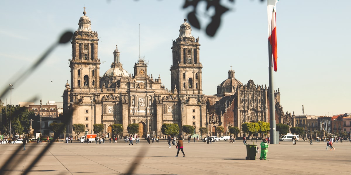
CDMX as a Green Metropolis: Urban Ecology at Altitude
Although Mexico City is one of the world's largest megacities, it's also one of the greenest. Situated at 2,240 meters altitude in the Valley of Mexico, CDMX is home to over 1,000 protected green spaces — from urban parks to ancient cloud forests. This unique combination of altitude, volcanic geography, and subtropical biodiversity creates an exceptional ecosystem that tourists rarely explore fully.
Mexico City's urban ecology is complex and fragile. The city is surrounded by a ring of national parks and ecological reserves protecting oyamel forests, pine-oak forests, and freshwater ecosystems — all threatened by urban sprawl. The three major rivers (Río de los Remedios, Magdalena, Churubusco) are degraded but recovering. However, the impact of 9 million residents is undeniable: air pollution, deforestation, aquifer drainage, loss of endemic species.
For visitors in Condesa (at 2,250m altitude), the good news is that nature is literally at your door. From anywhere in Condesa, you can be in primary forest in 30-60 minutes. The initial altitude causes mild shortness of breath — normal. Bring water, take it slow, breathe deeply. The air is crisp but often polluted near the city; the best parks are at higher altitude where air is cleaner.
This guide takes you to the 7 most important natural destinations accessible from Condesa. Each offers something unique: Chapultepec is accessible and urban; Desierto de los Leones is mystical and humid; Ajusco is volcanic and alpine; Xochimilco is historic and aquatic. Together, they represent the ecological diversity that makes CDMX a world-class ecotourism destination — if you know where to look.
Chapultepec Forest: The Urban Lung
Chapultepec Forest is Mexico City's largest urban park with 678 hectares. It's home to 50 mammal species, 230 bird species, and ecosystems dating back thousands of years. The forest is divided into three distinct sections: the First is the most visited, the Second offers quiet trails, and the Third is the wildest and most protected.
The dominant vegetation is oak (Mexican oak), with 150+ year old trees creating deep canopy. Ahuehuetes (water cypress) reach up to 500 years old and 12 meters in circumference — they're living trees from pre-Hispanic times. During spring (March-May) the forest explodes with wildflowers — pink ocotes, yellow acacia flowers, wild orchids on branches. The smell of wet pine and moss is intoxicating.
Emblematic species include flying squirrels, hawks, badgers, occasional coyotes, and rarely pumas. Birds are abundant: chachalacas, grackles, hummingbirds, eagles, falcons. During twilight (6:00-7:00 PM) the forest comes alive — you can hear calls of distant coyotes, owl songs.
Access from Condesa: Metro line 1 or line 7 directly to Chapultepec (10-15 minutes). The forest opens at 7:00 AM; closes at dusk. The First Section includes Chapultepec Castle — entry $90 MXN, or just the forest is free. Best to go October-May to avoid heavy rain. Trails are well marked but translucent — we don't recommend night hiking.
Desierto de los Leones: Cloud Trails and Colonial Convent
30 kilometers northwest of Condesa, Desierto de los Leones is a 1,866-hectare national park completely wrapped in fir forest. The name is misleading — it's not a sandy desert but a mystical cloud forest at 2,700-3,200 meters altitude where mist is practically permanent. Temperature is constantly cool (8-15°C) even in summer.
The park's heart is the Exconvent of Desierto de los Leones, founded in 1606 by Carmelite friars. The gray stone architecture is outstanding: silent cloisters, baroque chapel, preserved monastic cells. The atmosphere is almost supernatural — perpetual mist, sound of streams, absence of mass tourism create total temporal isolation. Many visitors report feeling transported to colonial Spain. The convent opens 9am-5pm; entry $50 MXN.
The oyamel forest (Abies religiosa) is one of Mexico's most critical ecosystems. These trees grow at elevations of 2,700-3,600 meters and are completely endemic to Central Mexico. They're home to the monarch butterfly during winter migration — November to February becomes a spectacle of millions of butterflies hanging from trees like living leaves. The phenomenon is so impressive it's protected as a UNESCO World Heritage site.
The park offers 12 trails of varying difficulty. The most popular is Sendero Priora (4 km, 1.5 hours, moderate) following a crystal stream between giant ferns. For serious hikers, Cerro Gordo Trail (8 km, 4 hours, difficult) climbs 500 meters to the summit at 3,200 meters. Access: Uber/Taxi to Huixquilucan station (45 min from Condesa), then local micro toward park. Bring waterproof jacket — terrain is slippery after rain. Best March-May or September-October.
Ajusco-Chichinautzin: Volcanoes, Alpine Flowers and 3,900m Peaks
Ajusco-Chichinautzin National Park, 25 kilometers south of Condesa, is the ultimate destination for serious hikers wanting extreme altitude. The region is volcanic, dominated by aged lava fields (malpais) covered by pine-fir forest. Elevations range from 3,000-3,900 meters, meaning even CDMX residents experience mild hypoxia — this is real altitude.
The pinnacle is Pico del Águila (3,937 meters), the Valley of Mexico's second highest mountain after Popocatépetl. The 6-kilometer ascent takes 5-6 hours total (round trip). From the summit on clear days, you see toward Popocatépetl (5,426m), Iztaccíhuatl (5,230m) and the entire valley spreads beneath you like a map. The experience of being at nearly 4,000 meters is almost Martian: the sky is an almost-black blue, the air is so thin each breath requires concentration.
The volcanic landscape is wildly beautiful: blocks of polished black rock, dwarf and gnarled pines adapted to extreme cold (tolerating to -20°C), miniaturized alpine plants barely reaching 10 centimeters high. During spring (April-May) these alpine flowers explode — blue gentians, yellow saxifrage flowers, violet asters that only grow at this extreme altitude. It's like stepping on a Swiss alpine garden but at 4,000 meters in Mexico.
The park is home to the golden eagle (Mexico's national symbol) and the peregrine falcon. White-tailed deer are common, as is the gray fox. Access: drive or Uber toward San Ángel village (40 min from Condesa), then local micro toward park entrance. A guide is required on some trails. Bring full mountain jacket — even in July, the summit is 5-8°C. Soroche (altitude sickness) is possible; take it easy. Best to go April-June or September-October, avoiding rain.
Xochimilco: Floating Chinampas, Axolotls and Aztec Heritage
Xochimilco, a UNESCO World Heritage Site, is unique: a system of 180 kilometers of navigable canals and 22,000 hectares of chinampas — "floating islands" agricultural plots dating back 700 years to Aztec civilization. Chinampas fed Tenochtitlan and remain productive today. They're literally floating gardens where ornamental flowers, water vegetables, medicinal plants and even ritual herbs grow in fertile soil built over lake waters.
The axolotl (Ambystoma mexicanum) is Xochimilco's living symbol. This aquatic salamander endemic to Mexico is critical to global scientific research — its organ regeneration capacity is unparalleled in vertebrates. Unfortunately, the axolotl is critically threatened in the wild. Its freshwater habitat has been polluted and drained by urbanization. The Xochimilco axolotl is distinctive: leucistic (albino pink-white), lives 15 years, and is absolutely endemic to these canals. In laboratories there are millions, but in nature only hundreds remain in Xochimilco.
To experience Xochimilco responsibly, take a non-motorized rowing boat on the "nuevas noria" (western, less touristy canals). Traditional boatmen slowly guide you through floating gardens where you see axolotl families under transparent water (especially October-November). Silence is total. Completely avoid the eastern tourist zone — it's noisy, full of street vendors, motorboat traffic and music platforms.
Cost: $400-600 MXN per full boat (2-6 people, 2-3 hours). Access from Condesa: Metro line 2 southward, then local combis toward wharves (90 min total). Hours: 8:00 AM-5:00 PM. Best to go October-November or March-April when water is clear. July-August rain makes water murky. Bring camera, sun protection — water reflects intensely. Boatmen sell local food (elote, tamales, traditional pulque) — it's authentic part of experience.
Los Dinamos: River Gorge, Historic Dams and Rappelling
Los Dinamos is an 80-hectare ecological park located in the Magdalena River gorge, a deep canyon at 2,800-3,000 meters altitude. The name comes from the "dynamos" — five small hydroelectric dams built during the Porfiriato era (1890-1910) that still generate electricity today. The dams are historical engineering: concrete and stone structures that defy the river's torrential flow.
The park is an oasis of water and greenery in dry mountains. The Magdalena River is real river with waterfalls, natural pools of crystal-cold water, and complete riparian ecosystem. Trees are enormous tejate and red oak with understory of ferns and moss. Water temperature is 10-12°C even in summer — it's pure alpine spring water. In the gorge there's a unique microclimate: water maintains humidity, trees provide perpetual shade, air is crisp and clean.
For serious adventurers, Los Dinamos offers professional rappelling (40-60 meter descents by waterfalls), rock climbing, and technical mountain biking. There are local operators offering guided tours with equipment. Rappelling costs $400-600 MXN with guide. You can also simply swim in natural pools (water is cold but refreshing), fish for trout, or meditate under the trees.
Access from Condesa: Metrobús line 5 toward Magdalena Contreras (40 min), then local taxi to park ($80 MXN). Park opens 8:00 AM-5:00 PM. Entry: $20 MXN. Best to visit September-October or March-April when river isn't in flood. Bring swimwear, towel, grip shoes. Terrain is rocky and slippery — don't recommend sandals. No services in park (restaurant closed) — bring picnic and extra water.
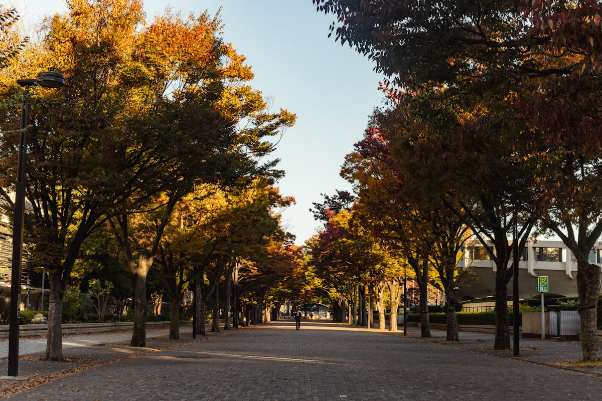
Coyoacán Nurseries and Botanical Garden: Silent Oases
Viveros de Coyoacán (50 hectares) is a beautiful urban forest, surprisingly unvisited, located just 8 kilometers from Condesa. Originally a commercial plant nursery, it's now a protected botanical garden. The mix of vegetation is eclectic but magical — ancient shade trees (150+ year old ahuehuetes), centuries-old oaks, giant ash trees, pines, along with native reforestation plantings.
The park is perfect for morning running, meditative walk or simply sitting under canopy. There are very few tourists here — it's one of CDMX's best-kept secrets. The ground is soft red soil, the air smells of moss and natural decomposition (decomposition is forest health), city noise disappears completely. Birds are abundant — chivíos, primaveras, jays — sing constantly. During spring (March-May) the forest blooms explosively with cream-colored acacia flowers.
Adjacent is the UNAM Botanical Garden (2,500 cataloged species), organized thematically by habitat: desert zone, tropical zone, temperate zone. It's like visiting 5 different ecosystems in one morning. Entry to Viveros: free. Open 6:00 AM-6:00 PM. Access from Condesa: Metrobús line 1 or direct micro (25 min). Botanical Garden has $100 MXN entry, open 10:00 AM-5:00 PM.
Viveros are home to rare species: Mexican terrestrial orchids, epiphytic bromeliads, traditional medicinal plants, native fruit trees (tejate, wild avocado, creole plum). In October-November there's additional attraction: monarch butterfly migration stops to rest in trees.
Practical Guide: Access, Transport, Costs and Safety
Best Seasons by Park: Chapultepec works year-round (best October-May, avoid July-August rain). Desierto de los Leones is best October-February (cool temperatures 8-15°C). Ajusco is best April-June or September-October (avoid extreme winter). Xochimilco is best October-November or March-April (clear water). Los Dinamos is best September-October (controlled river). Viveros is perfect year-round (spring for flowers).
Transport from Condesa: Chapultepec: Metro line 1 direct (15 min, $3 MXN). Desierto de los Leones: Uber to Huixquilucan (45 min, $150-200 MXN). Ajusco: Uber to San Ángel (40 min, $180-250 MXN). Xochimilco: Metro line 2 south + combis (90 min, $30 MXN total). Los Dinamos: Metrobús line 5 (40 min, $5 MXN). Viveros: Metrobús line 1 (25 min, $3 MXN). We recommend driving or Uber — public transport is cheap but chaotic.
Entry Prices and Services: Chapultepec: forest free, Castle $90 MXN. Desierto de los Leones: $50 MXN. Ajusco: $20 MXN. Xochimilco: boats $400-600 MXN. Los Dinamos: $20 MXN. Viveros: free. UNAM Botanical Garden: $100 MXN. Most parks have no services (restaurant, paid bathrooms) — bring water and picnic. Chapultepec and Xochimilco have food vendors.
What to Pack: All parks require: water (2-3 liters minimum), sun protection (SPF 50+, UV is intense at altitude), firm hiking footwear (NOT sandals), printed map or offline GPS (limited signal). For Desierto and Ajusco: waterproof jacket (even summer = cold), layers, scarf. For water (Xochimilco, Los Dinamos): towel, swimwear, flip-flops. Bring plastic bag for trash — leave no trace.
Safety: CDMX has crime, but national parks are generally safe during day. Recommendations: (1) Hike in groups, not alone. (2) Avoid dawn and dusk. (3) Keep phone charged. (4) Avoid showing valuables (expensive cameras, jewelry). (5) In Chapultepec, avoid Third Section unless experienced — it's dense forest. (6) If you see coyotes or pumas, keep distance (100+ meters), lower voice, never run. These animals rarely attack humans.
Altitude and Air Considerations: CDMX is at 2,240m; Chapultepec at 2,380m; Ajusco at 3,900m. If you have breathing problems, don't attempt Ajusco — the altitude is serious. Drink lots of water. Air can be polluted near city; altitude parks (Ajusco, Desierto) have cleaner air. Bring pulse oximeter if you have heart issues. On Ajusco, soroche (altitude sickness) causes headaches, nausea — rest if it happens.
✨ Book & Save
Recommended links to complement your trip. Booking through these links supports Marimbas Home at no extra cost.
Related guides
Complete Mexico City Travel Guide
Discover Mexico City: bohemian neighborhoods, world-class museums, prehispanic gastronomy.
La Condesa
Everything about La Condesa: where to eat, things to do, cafés, nightlife and tips to.

Coyoacán, Mexico City
Complete guide to Coyoacán: Frida Kahlo